csv2dxf (deprecated)
What is it?
csv2dxf is a free server-side web app, available after registering by e-mail at solutop@gmail.com. Once a *.csv file has been downloaded from the field applications that record GNSS data, it often has to be turned into a *.dxf file so that it can be handled by the best-known CAD packages.
csv2dxf lets you:
- upload a file in *.csv format (see the bottom of the page for the correct layout)
- choose among the EPSG codes most used in Italy (3857, 3003, 3004, 6707, 6708)
- process the file and convert it to *.dxf format
- download it to be imported into CAD software
- restart the app to use it again
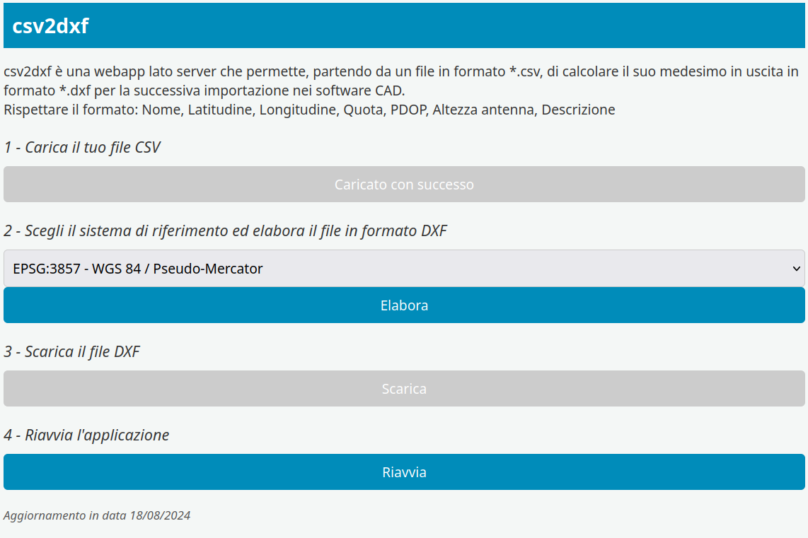
Fig.1 The application screen
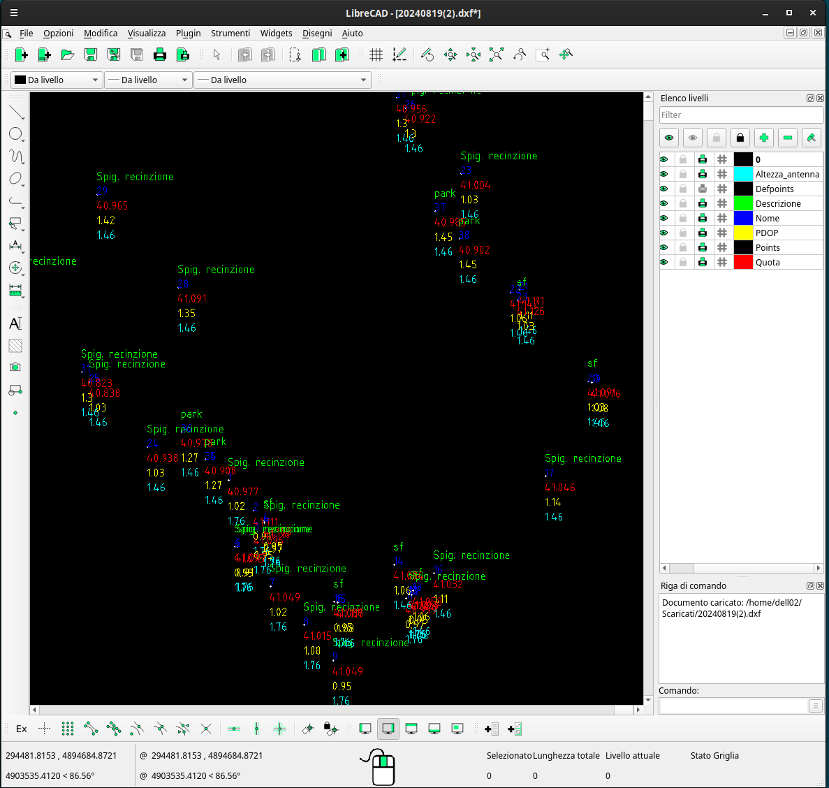
Fig.2 The points in CAD
Warning
The following layout has to be used, without a header and with the comma as the decimal separator, since anything else is rejected straight away on import:
- Point name (whole numbers only)
- Latitude (decimal degrees — dd)
- Longitude (decimal degrees — dd)
- Height (ellipsoidal, in metres)
- PDOP (a number, whole or decimal)
- Antenna height above the ground (in metres)
- Description (alphanumeric)
Here you can download an example file